
Nigeria Embraces Technology for Enhanced Geospatial Mapping Initiative
By Charles Ogba, Abuja
The Nigerian government has initiated efforts to utilize technology for geospatial mapping and surveying nationwide, aiming to enhance urban planning, resource management, and agricultural development, thereby positioning Nigeria among the world’s smart cities.
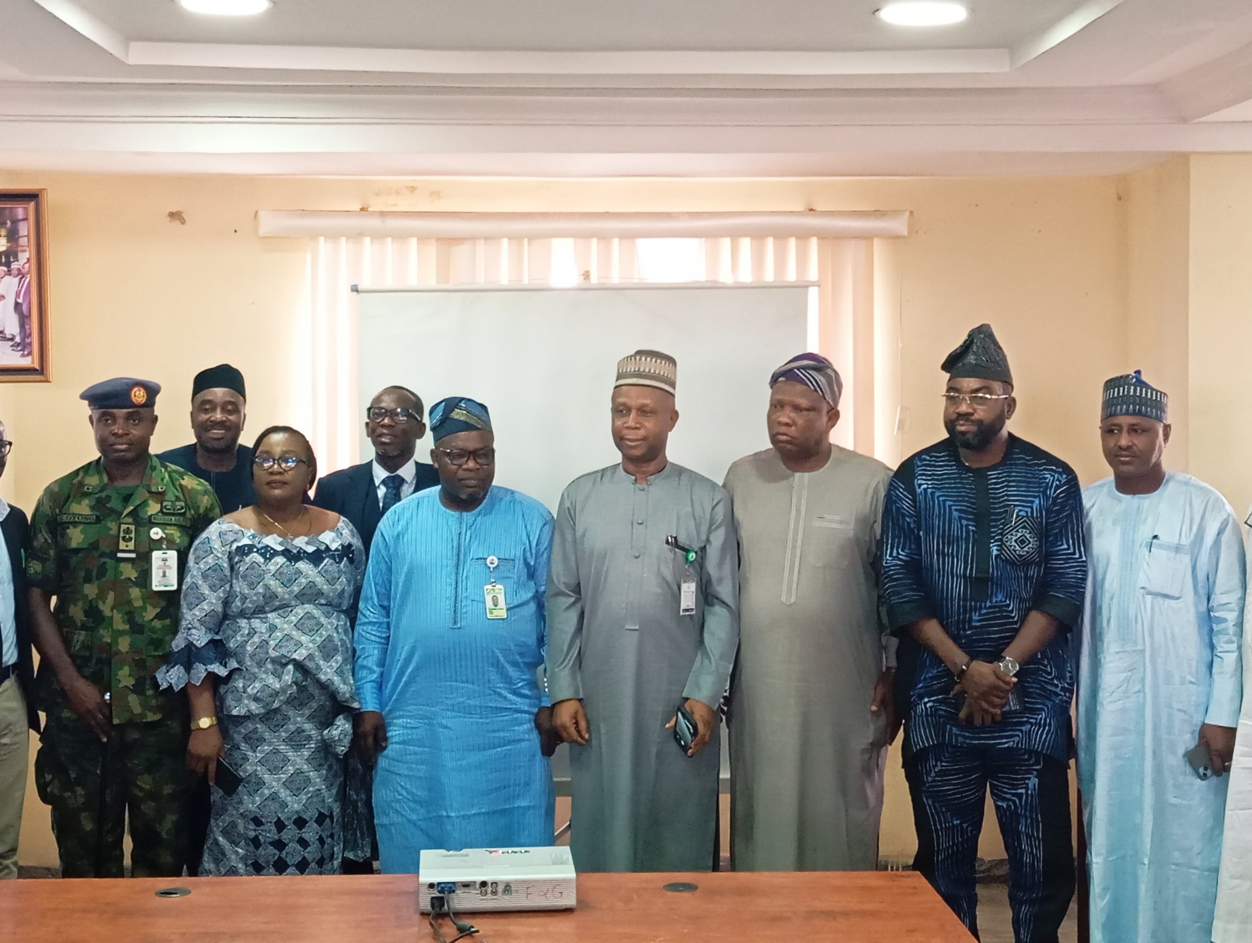
The Surveyor General of the Federation (SGOF), Abuduganiyu Adebomehin, highlighted this during a workshop focused on very high-resolution drone imagery and street view data gathered in parts of the Abuja Municipal Area Council (AMAC).
He stressed the significance of 3D digital twin mapping data of Abuja for national transformation, economic planning, and sustainable development.
“We should all be proud of what we are going to see now,” he stated, adding that, “though initially challenging, we overcame. Geospatial information and management, alongside technology, drive the concept of Smart Cities in this context. I appreciate The PLACE for providing expert teams for this drone mapping initiative.”
Adebomehin underlined that digital mapping and street view data collection align with Nigeria’s Renewed Hope Agenda.

He noted the support of the Minister of Housing and Urban Development, Ahmed Dangiwa, for swift project approval.
“This technology is unprecedented in Africa. Adapting to technological trends is crucial for Nigeria to evolve into a smart city, where 3D drone mapping plays a key role. I also thank the American government and the United Nations for their support,” he said.
During the presentation on AMAC’s Very Large-Scale Drone Imagery, Afeez Azeez, the Head of Photogrammetry and Remote Sensing, emphasized the Office of the Surveyor General of the Federation’s role in mapping and surveying, providing accurate data for informed decision-making.
He stated, “One of the primary responsibilities of OSGoF is to conduct the National Topographical Mapping at various scales, which requires very high-resolution mapping through drone imagery.”
Azeez emphasized that “saving lives and properties” is a critical goal of the project and noted the importance of keeping up with global technological advancements, referencing countries with autonomous vehicles. He expressed a desire for similar innovations in Abuja.
Afeez also highlighted digital twin mapping’s significance for urban development and autonomous vehicles.

The Geospatial Technical Lead of The Place Waddah Hago, explained that they completed drone imagery for a 152 sq km area in just 10 days.
PLACE, a nonprofit data trust from the U.S., partnered with OSGoF for training in data collection.
“High-resolution orthomosaic and AI techniques achieved about 5cm accuracy in mapping. The advantages include applications for urban planning, saving resources, and real-time census estimations,” he detailed.
The workshop emphasized the need for innovation, inclusivity, and continued investment in the geospatial sector to meet 21st-century demands.
It brought together professionals from various MDAs to explore drone imagery and 3D street view data’s implications for geospatial surveying in Nigeria.
The outcomes will inform future policies, underscoring digital twin mapping’s critical role in shaping Nigeria’s future.
Comments are closed.