

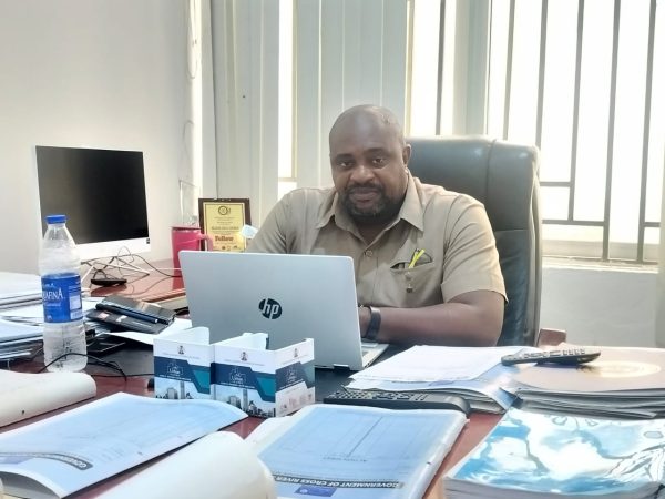
The Cross River State Government says it is developing an early warning disaster management system to monitor landslides, floods and other natural hazards before they occur.
The initiative, being developed through a partnership between the Cross River Geographic Information Agency (CRGIA), the State Emergency Management Agency (SEMA) and the Ministry of Environment, is aimed at providing timely data to help prevent loss of lives, homes, businesses and critical infrastructure.
The Director of Operations, CRGIA, Mr Jesam Iwara, disclosed this in an interview with journalists in Calabar, the state capital.
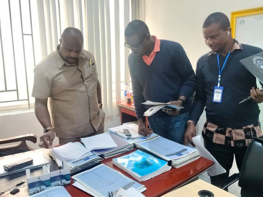
Iwara said the system would deploy Geographic Information System (GIS) technology and strategically positioned sensors to monitor soil moisture, underground earth movements, rainfall and flood levels in areas considered vulnerable to natural disasters.
He said the data would enable the government to identify locations prone to landslides and other hazards and take preventive measures, including evacuating residents before disasters occur.
Iwara said, “We are prepared to take a proactive stance instead of a reactive stance in disaster management. When we identify these areas, we will equip them with certain sensors that will be able to tell us when there is earth movement.
“We will also know when to evacuate people and ensure that we are able to save lives and property before these things occur.”
The initiative comes as parts of Cross River continue to experience the effects of landslides and other natural hazards, which have threatened homes, businesses, public facilities and access routes linking communities.
Iwara said; “the system would also provide evidence-based information for government decisions on environmental interventions, including areas requiring reinforcement or the removal of structures exposed to danger.”
He said the state was already studying rainfall patterns and other environmental data to identify recurring trends that could help predict where disasters were likely to occur.
“If you study the pattern of rainfall over the years, you see that we’re having increased rainfall in different locations. If you properly study that, you will notice a pattern,” he said.
The CRGIA Director of Operations said the planned system would strengthen the state’s capacity to respond to disasters before they escalate, adding that the government was working towards deploying a robust solution ahead of the next rainy season.
Iwara further said the administration of Governor Bassey Otu had invested in rebuilding the capacity of CRGIA, including its digital infrastructure, to support land administration and other government agencies.
He said the agency’s GIS platform was already being used to support the Ministries of Agriculture and Environment and the State Bureau of Statistics.
According to him, the government’s focus is to ensure that technology and reliable data are deployed not only for land administration but also to protect lives, property and livelihoods across the state.